Orienteering Merit Badge 2020
Morrow Mountain State Park
35.377326, -80.071804
4 January 2020
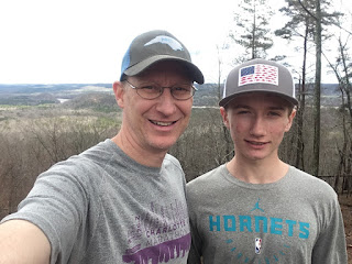
Nathan completed the Morrow Mountain State Park, COK Yellow course, hosted by the Carolina Orienteering Klubb. The Yellow course consist of 12 controls over a total course length of 2.6 km. Weather was warm for January with mild temperature in the mid 50's. Previous rain overnight made the forest floor wet.
COK provided Nathan a standard orienteering topographic map with a Scale 1:10,000 and contour interval of 5 meters. Nathan used his personal compass, a SUUNTO A-10 model. Because of the wet conditions and threat of additional rain while on the course, Nathan folded the Topo map in half and placed into a gallon sized Ziploc bag.
Nathan carried water and a rain jacket (in addition to the map & compass)! The control points 8 to 9 and then 9 to 10 were the most challenging (500 meters), as the direct routes traverse uncrossable marsh! Nathan "read" the topo map in order to identify alternative routes to avoid the marsh.
Nathan completed the course in just under an hour!


No comments:
Post a Comment